

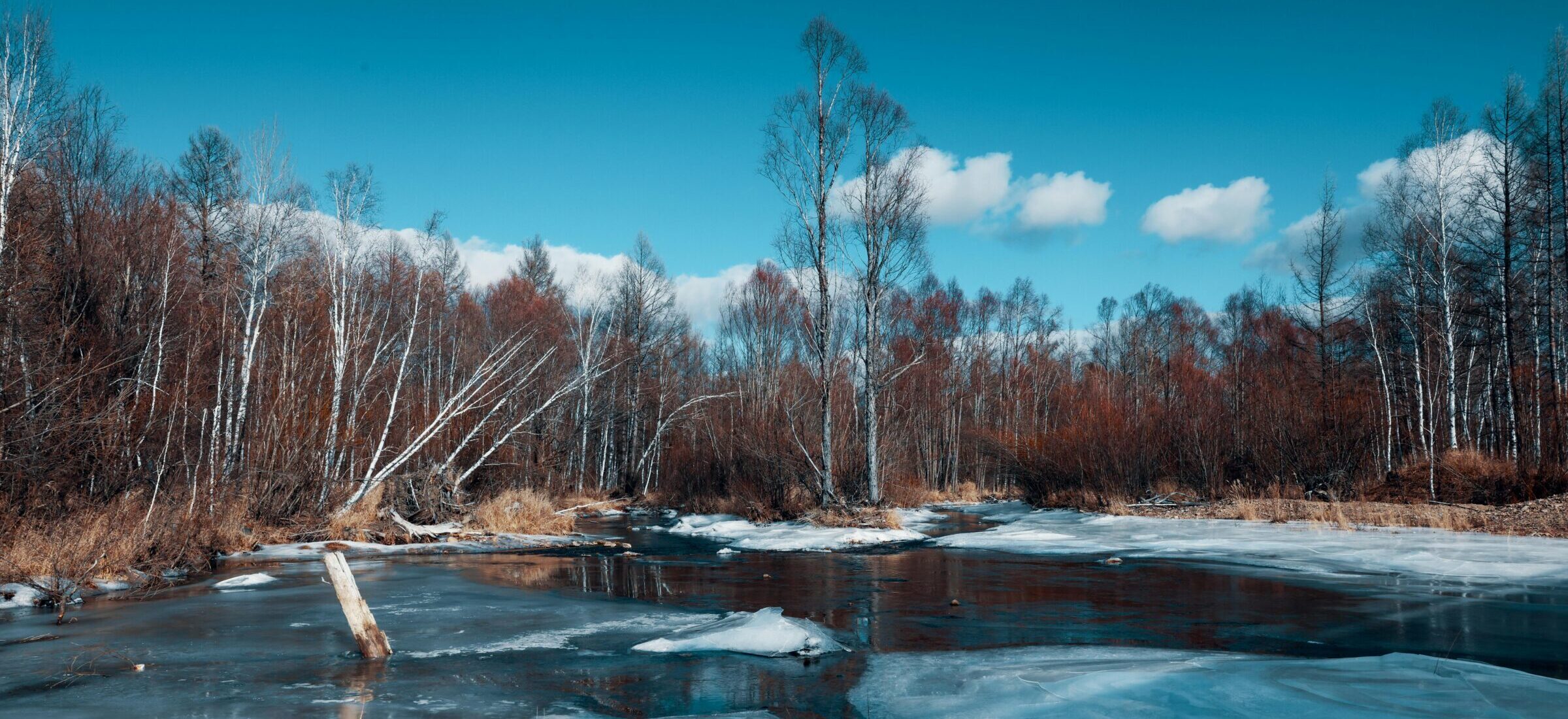
Each spring in Ontario, the thaw tests watershed systems in ways that are often difficult to predict.
Snowpack melts, frozen soils shift rapidly into saturation, and river levels rise unevenly across basins. In some watersheds, conditions move from stable to strained within hours. For conservation authorities and municipal operators, these weeks are operationally intense and increasingly unpredictable.
As Angela Coleman, Chief Administrative Officer at Conservation Ontario, which represents Ontario’s 36 conservation authorities and supports coordinated watershed management across the province, notes, this variability is now a defining feature of water management rather than an exception. The challenge is not only understanding what is happening in real time, but ensuring systems are prepared to respond before conditions escalate.
Recent years have reinforced this shift. Severe weather is no longer an outlier. Flooding remains Canada’s most frequent and costly natural disaster, with insured losses continuing to rise. These events are signals that the assumptions underpinning traditional water management systems are under pressure.
Many flood forecasting and watershed planning frameworks were built on historical climate records that assumed relative stability in rainfall intensity, snow accumulation, and runoff timing. Those baselines are less reliable.
This is where hydrological monitoring becomes core decision infrastructure rather than supplementary analysis.
From Infrastructure to Intelligence
For decades, resilience in water management was defined primarily through physical infrastructure. Larger culverts, higher berms, and expanded stormwater systems formed the backbone of flood mitigation. These investments remain essential, but infrastructure alone cannot manage volatility without timely intelligence.
Streamflow, groundwater levels, soil moisture, and watershed storage conditions collectively determine how quickly risk escalates during events such as spring thaw.
Traditional physics-based hydrological models remain central to understanding how water moves through groundwater, soil, and surface systems. They provide deep process insight, but they can be computationally intensive and difficult to deploy in real time at watershed scale, particularly in cold climates where snowmelt dynamics add complexity.
Increasingly, artificial intelligence is being layered onto these physical models to improve forecasting speed and operational usability.
As Brayden McNeill, Technical Sales and Marketing Lead with Aquanty, explains, this shift builds on years of watershed-scale collaboration with conservation authorities and the development of physically based modelling systems. Aquanty’s HydroSphereAI platform extends that foundation by integrating machine learning with hydrological simulation to improve real-time forecasting of streamflow and flood risk.
“The value comes from combining physically based understanding with easily-scalable, generalized computational forecasting,” McNeill notes. “It allows us to immediately begin simulating how a watershed responds to incoming weather in near real time, rather than relying only on slower traditional model runs which take a long time to develop and calibrate.”
Platforms such as HydroSphereAI reflect a broader shift toward hybrid hydrological simulation systems that combine physical understanding with data-driven prediction, particularly in regions where monitoring data is sparse or uneven.
The Barrier Is Not Technical
Despite rapid technological progress, the most persistent constraint in hydrological resilience is not technical capability. It is institutional readiness.
Across Ontario and Canada, public agencies operate within necessary constraints. Budget approvals, procurement processes, validation requirements, and accountability frameworks are essential for maintaining transparency and public trust. In the case of AI-enabled systems, governance must also clearly define oversight, responsibility, and human decision authority.
Coleman emphasizes that adoption depends on more than technical performance alone. It depends on whether tools are trusted, validated, and integrated into real operational workflows across conservation authorities and partner municipalities.
“Institutional adoption takes more than a good model,” she notes. “It requires confidence in the tools, clear governance, and ensuring they fit within how decisions are actually made on the ground.”
She also stresses the importance of designing systems for implementation from the outset, rather than retrofitting them after development. Without that alignment, even highly capable forecasting tools risk fragmented uptake.
Too often, major advances in flood forecasting and watershed management are only fully implemented after a crisis exposes weaknesses in existing systems. Following a flood event, funding becomes available, reviews are launched, and tools are deployed under compressed timelines. This reactive cycle is costly and inefficient.
A more resilient approach requires building institutional readiness before crisis conditions occur.
From Reacting to Managing Risk
It means testing forecasting systems in real operational environments ahead of emergencies. It means embedding human expertise into predictive systems from the outset. It means aligning monitoring investments with climate risk assessments, asset management planning, and watershed governance structures.
Ontario is well positioned for this shift. Its conservation authorities, municipalities, researchers, and private sector innovators already operate within a collaborative ecosystem that connects science and practice. Strengthening the intelligence layer within that system is a natural next step.
McNeill points to this foundation as essential, highlighting the role of long-term collaboration with conservation authorities in building the modelling and data infrastructure that now supports real-time forecasting systems. “Without that sustained operational partnership, advanced analytics layers would not be meaningful in practice,” he says.
Rather than focusing only on hazard magnitude, it allows agencies to evaluate exposure, vulnerability, and timing.
High-resolution monitoring and improved forecasting help identify where risk is concentrated and how operational decisions can reduce impact. In some cases, better data improves capital planning efficiency. In others, it strengthens the case for targeted infrastructure investment.
The spring thaw remains one of the most important stress tests for Ontario’s watersheds. Rapid runoff, fluctuating river levels, and saturated soils generate dense signals about system behaviour under pressure. Without advanced monitoring, much of this signal is lost. With it, these events become structured opportunities for learning and adaptation.
Hydrological intelligence enables operators to refine response protocols over time.
Accelerating Resilience in Ontario
Ultimately, the stakes extend beyond operational performance. Flood events carry significant economic costs, but the most important outcomes are often human. Improved forecasting is sometimes measured in lives not lost because warnings came early enough to act.
“Long-term stability depends on ensuring both environmental and economic resilience are supported by timely, reliable, and actionable watershed-level information,” says Coleman. She reinforces that the two are inseparable, underscoring the importance of a shared information base.
Each spring thaw will continue to test Ontario’s watersheds.
The question is whether those tests are treated as recurring crises or as opportunities to strengthen the systems designed to manage them.
Hydrological monitoring and AI-enabled forecasting are no longer supplementary tools. They are becoming core infrastructure for modern water management.
Building that infrastructure is not only a technical challenge. It is an institutional one. The opportunity is to do it before the next crisis forces the decision.